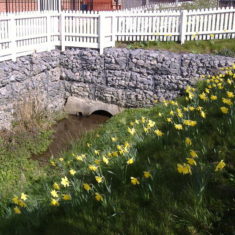
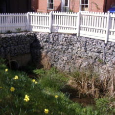
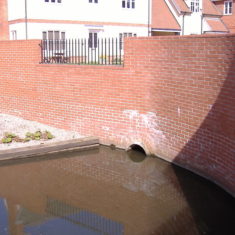
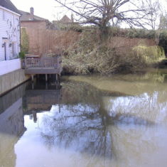
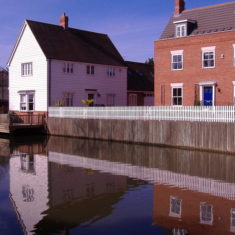
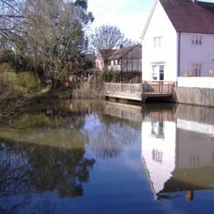
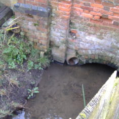
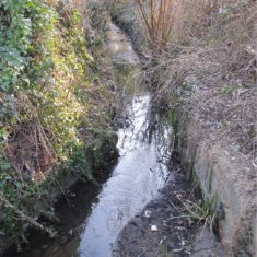
The Course of the Brook in Pictures
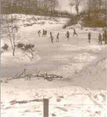
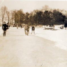
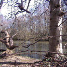
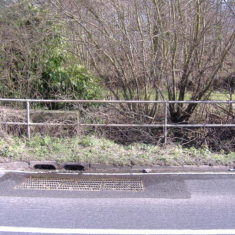
From Chamberlain's Pond to Queens Road and beyond
Added by Pat Marsden
Research on the Brook 2007
In 2006 – 7 Queens Road residents became fascinated with the story of the Brook which runs under Queens Road and the railway line, down towards Brook Street and eventually the marshes of the Colne. We looked at Ordnance Survey maps and looked for anecdotal evidence in the Victoria County History of Essex and other sources.
Click on the link below to take you through to the full article
Research on the Brook 2008
We continued our research into the Brook with a more extensive examination of old maps and deeds at the Essex Record Office. We discovered that the Chapman and Andre map of 1777 was incorrect and discovered the true source and course of the Brook.
Click on the link below to take you through to the full article
or for a summary go to:
https://www.wivenhoehistory.org.uk/content/topics/heritage-assets/brook



No Comments
Add a comment about this page